Free Ring of Kerry Maps to Download and Print
Free, printable PDF maps of the Ring of Kerry and its two great side-loops - the Skellig Ring and the Gap of Dunloe. Download, print, and take them on the road. Each is drawn over a shaded topographic base so the mountains, coast and lakes read at a glance.
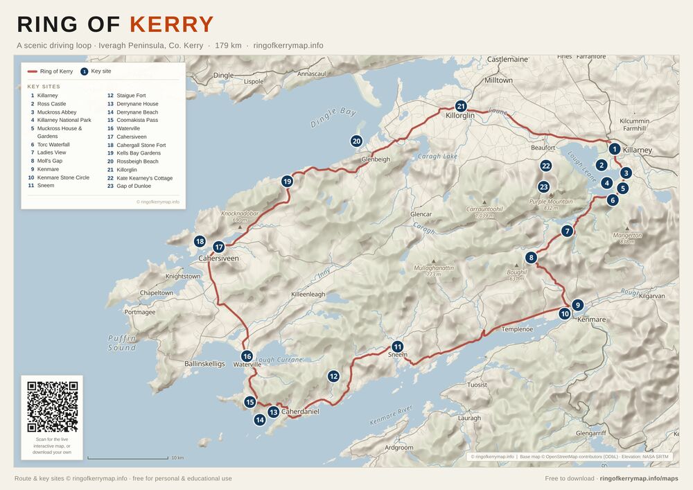
Ring of Kerry
The complete scenic touring loop
The whole driving loop on one A3 sheet - from Killarney out through Killorglin, Cahersiveen, Waterville, Sneem and Kenmare - with the peninsula’s headline viewpoints, beaches, castles and gardens marked along the way.
A3 · PDF · 563 KB
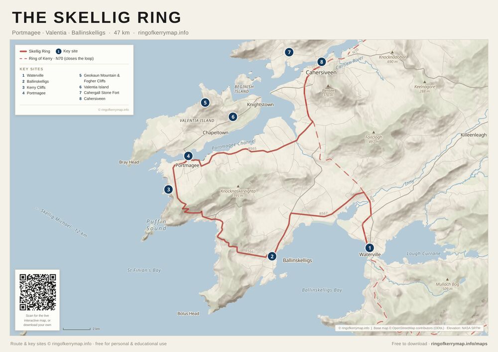
The Skellig Ring
Portmagee · Valentia · Ballinskelligs
A zoom-in on the wild western detour most tour buses miss - the Skellig Ring, looping through Portmagee, Valentia Island and Ballinskelligs, with the Skellig Michael viewpoints along the coast.
A4 · PDF · 393 KB
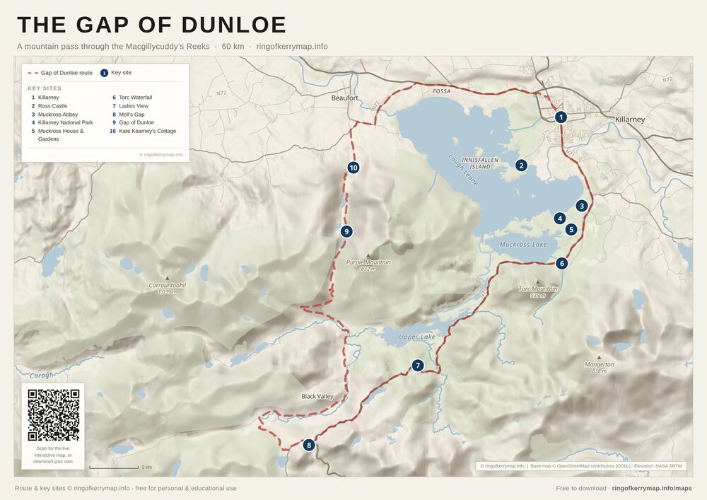
The Gap of Dunloe
A mountain pass through the Reeks
A close-up of the Gap of Dunloe - the narrow glacial pass between the Macgillycuddy’s Reeks and Purple Mountain - and the loop back through the Killarney lakes past Ladies View and Torc Waterfall.
A4 · PDF · 435 KB
Prefer to explore online?
The interactive map has every site, live filters and directions - handy for planning before you print.