Ring of Kerry
The complete scenic touring loop
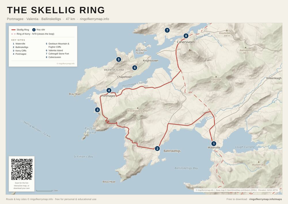
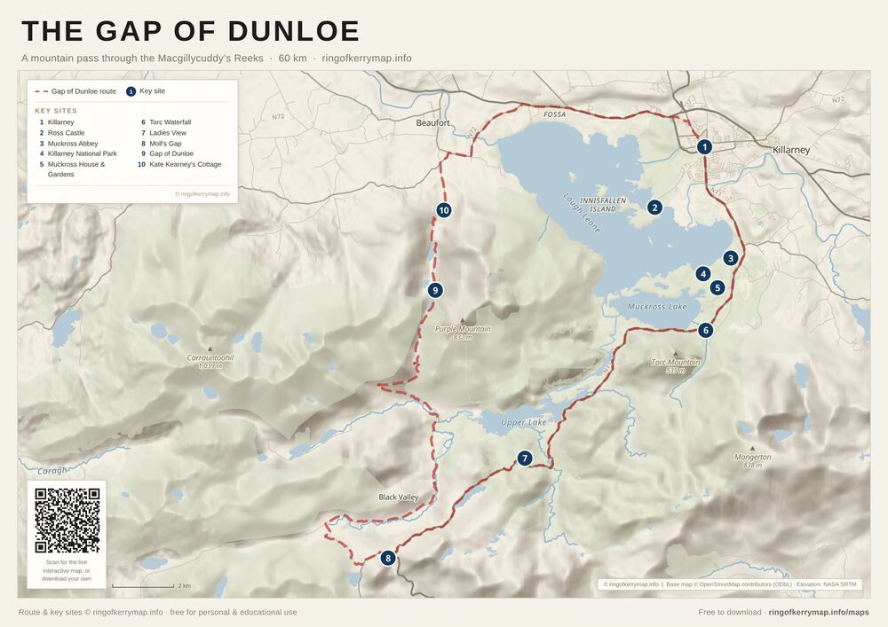
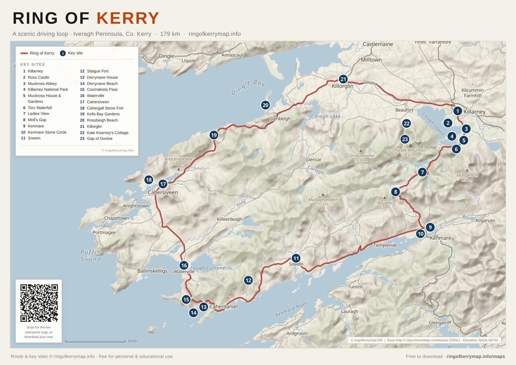
The whole driving loop on one A3 sheet - from Killarney out through Killorglin, Cahersiveen, Waterville, Sneem and Kenmare - with the peninsula’s headline viewpoints, beaches, castles and gardens marked along the way.
A3 · PDF · 563 KB
Download this map (PDF)What’s on this map
- The full 179 km driving loop, waymarked in order
- Headline stops: Ross Castle, Muckross, Torc Waterfall, Ladies View, Staigue Fort, Derrynane and more
- Shaded relief of the Macgillycuddy’s Reeks and the Iveragh coast
- The Kenmare and Killarney gateways at either end of the loop
Licence
Free for personal and educational use - please keep the attribution intact. Not for resale or commercial redistribution. Route and key sites © ringofkerrymap.info; map data © OpenStreetMap contributors (ODbL); elevation data NASA SRTM.