Climbing Carrauntoohil: Every Route Up Ireland's Highest Mountain
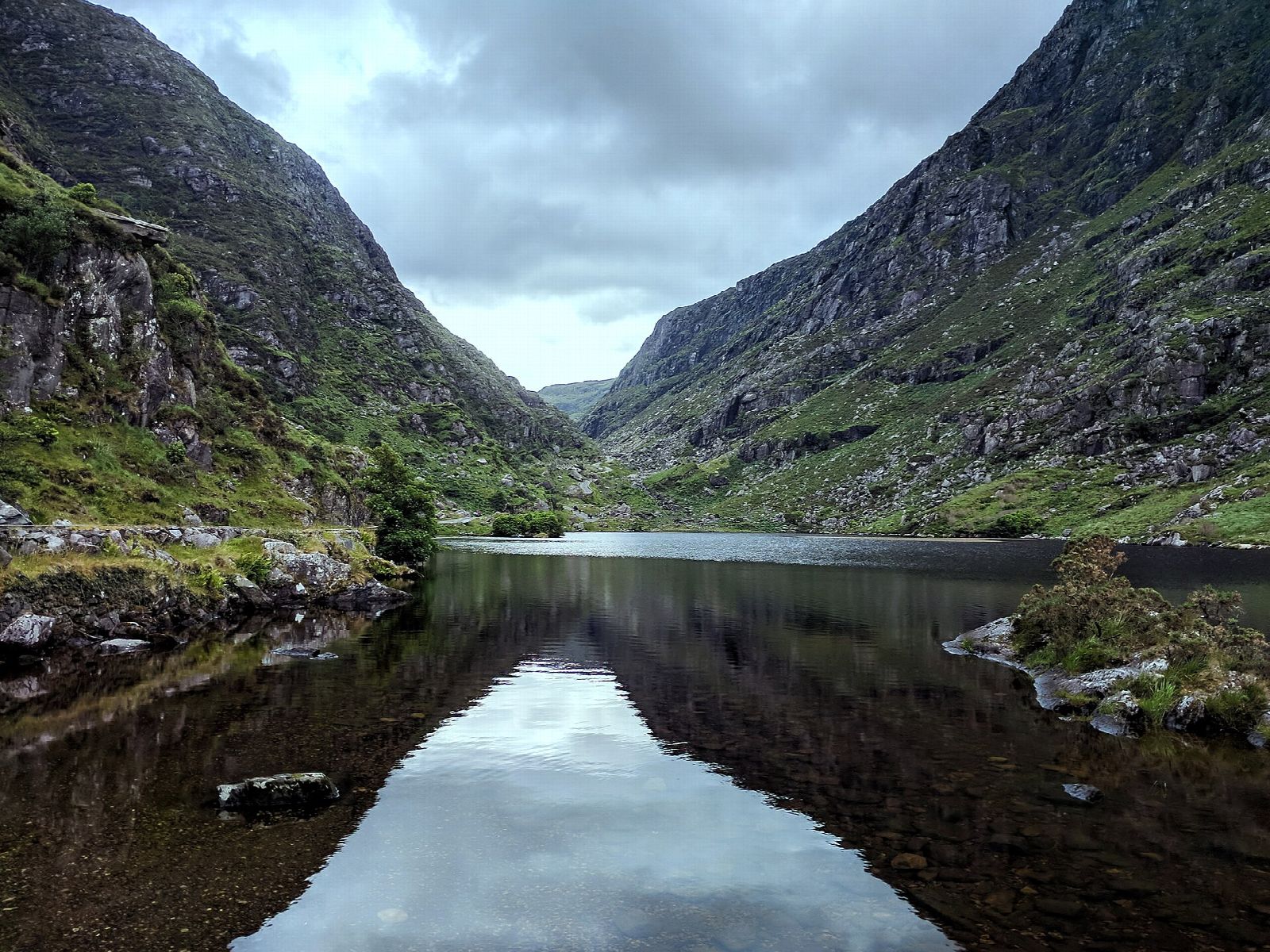
Carrauntoohil is the highest mountain in Ireland, and the mountain that keeps Kerry Mountain Rescue busiest. The two facts are connected, though not in the way most visitors are led to expect.
None of the walking routes need a rope or any technical climbing, and that is where the notion of Carrauntoohil as an easy tick comes from. It is not one. Kerry Mountain Rescue describe it as a challenging mountain to ascend compared with many Irish summits, and their advice is that anyone in real doubt about their own ability should go with a more experienced walker or hire a guide. Experienced hillwalkers will have a good day here rather than a hard one. For everybody else it is a demanding six hours on steep, loose ground, in weather that turns faster than visitors expect, finishing on a broad stony dome ringed by cliffs where a wrong bearing in cloud has consequences.
This guide covers every walking route up the mountain, what each one asks of you, how long it takes, and the places where people actually come unstuck. It is not a substitute for a map and the ability to use it in poor visibility.
The mountain in brief
Height. 1,038.6 m, or 3,407 feet, from Ordnance Survey Ireland. Rounded figures vary - Kerry Mountain Rescue says 1,039 m, plenty of guidebooks say 1,038 m - but it is all the same summit.
Irish name. Corrán Tuathail. The usual reading now is "Tuathal's sickle", after a personal name. The older interpretation, from P.W. Joyce, took tuathail as left-handed or inverted and made it the inverted reaping hook. The curve of the summit ridge suits either.
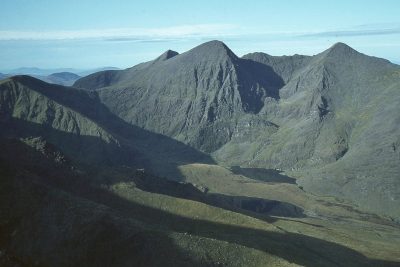
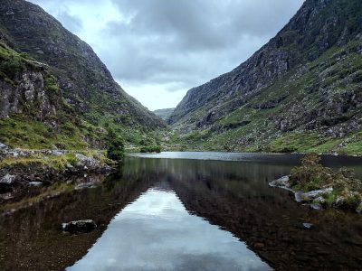
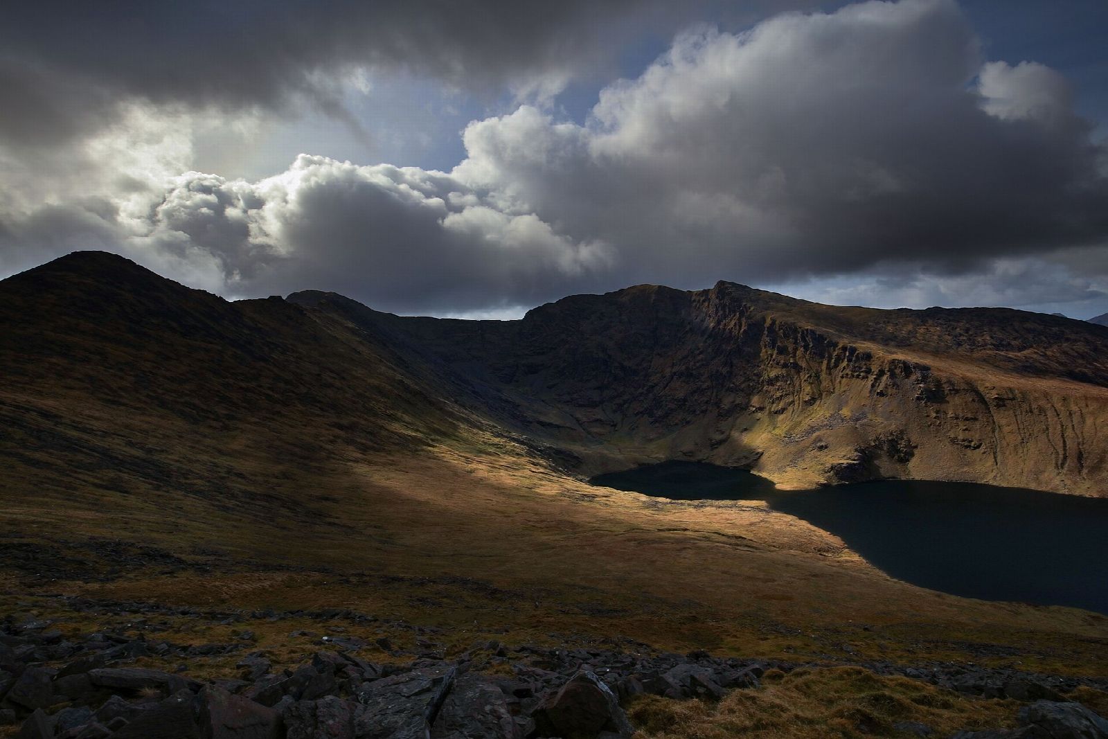
The range. The MacGillycuddy's Reeks, in Irish Na Cruacha Dubha, the black stacks. A compact ridge of Old Red Sandstone running west from the Gap of Dunloe, holding most of Ireland's ground above 3,000 feet, and carved into corries and arêtes by Ice Age glaciers.
The neighbours. Beenkeragh (1,008 m) and Caher (1,001 m), Ireland's second and third highest mountains, both stand within two kilometres of Carrauntoohil and are joined to it by ridges. Caher's Irish name, Cathair na Féinne, means the stone fort of the Fianna.
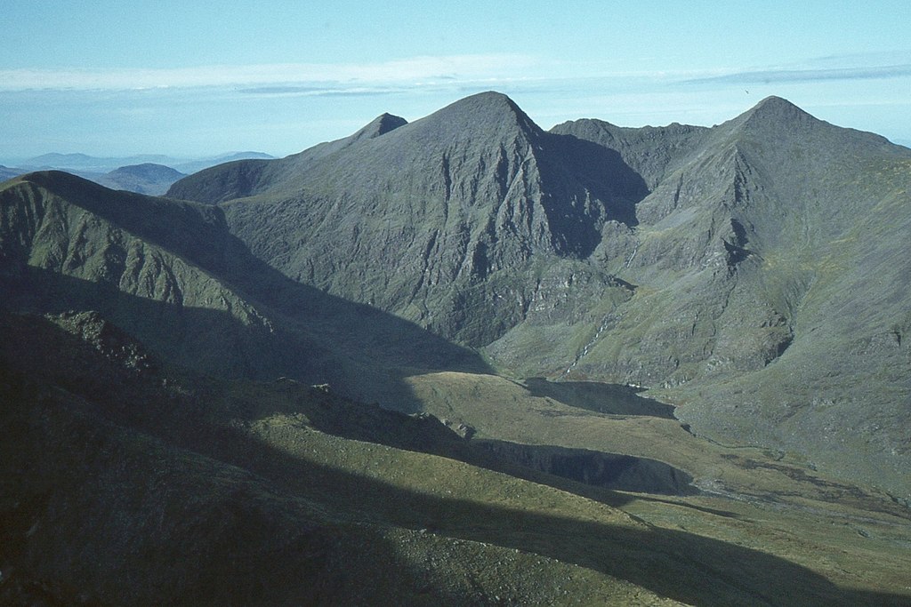
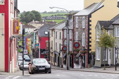
Where it is. Inland on the Iveragh Peninsula, about twenty-five minutes' drive west of Killarney. It is near the Ring of Kerry rather than on it, and you cannot see the summit from the driving route.
Why your satnav says Coomcallee
Put Carrauntoohil into a mapping app and the address that often comes back is Coomcallee, Co. Kerry, which appears on no signpost you will pass. Coomcallee is the anglicised Com Caillí, the hag's hollow: the great glacial valley on the eastern side of the mountain that everyone on the ground calls the Hag's Glen.
The hag is the Cailleach of Irish folklore. In the local telling she lost her mind and went leaping from hilltop to hilltop, and on the last jump, from Cnoc Breac across to Carrauntoohil, she fell short and clawed her way down the mountainside. The rocks she tore loose are the Hag's Teeth, Fiacla Caillí, and the sharp pinnacle at their end is the Hag's Tooth, the spike that rises on your right as you walk up the glen.
Getting there, and where to park
There are three recognised access points for Carrauntoohil, and the landowners ask that you use them rather than parking anywhere that looks convenient.
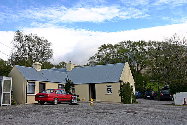
Cronin's Yard (grid ref V837873, Eircode V93 HK71) is the traditional start, at Mealis near Beaufort, and has been used as the way into the Hag's Glen for some three hundred years. From Killarney take the N72 towards Killorglin, turn left after Fossa for the Gap of Dunloe, carry on about 8 km to Kissane's shop, cross the small bridge and take the next left, signposted, for the final 3 km. There is a tea room, toilets, hot showers for afterwards, camping pods and a cottage. Parking is a couple of euro. The tea room is also the one place on the mountain where somebody notices you went up and has not come back.
Lisleibane (V827873) is a plain car park a little to the west, with an honesty box, and the track from it joins the Hag's Glen path a short way in. It is the point rescue vehicles work from, so leave the turning space clear.
Breanlee, also called the hydro car park (V772871), sits on the Glencar side near Lough Acoose and is the start for the Caher route and the Coomloughra Horseshoe.
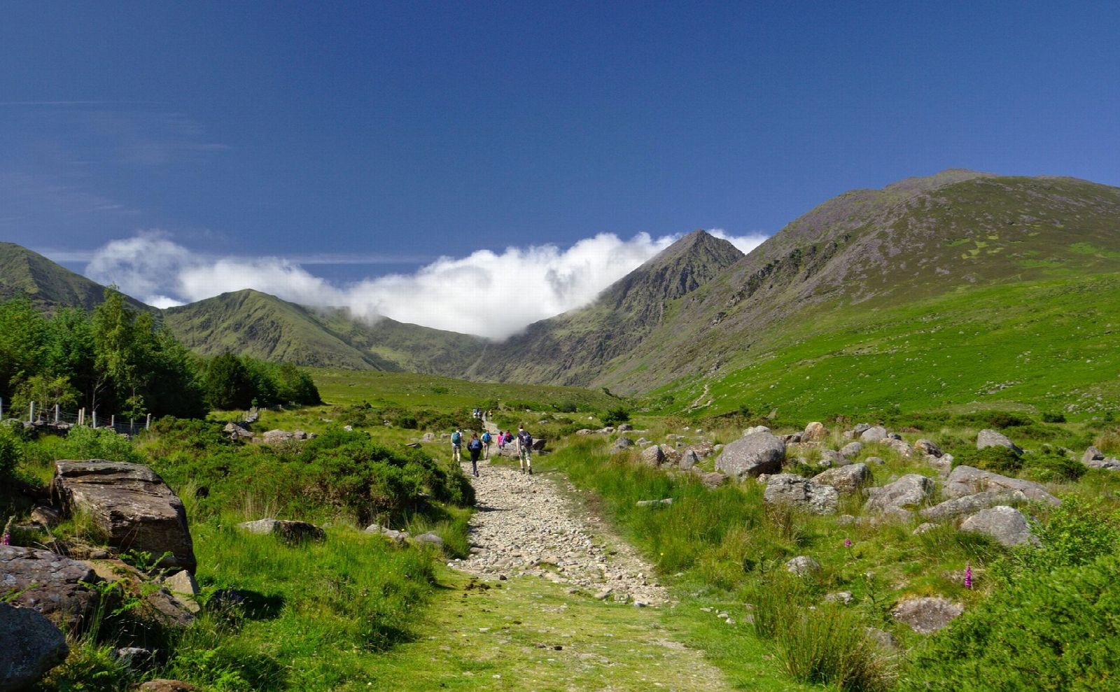
The honesty boxes at Lisleibane and Breanlee, and on the path in from Cronin's Yard, pay for the path work that keeps the glen from turning into a scar. The good track through the Hag's Glen was laid in 2016, paid for the same way.
How long it takes
Kerry Mountain Rescue allow six hours for the round trip on any of the standard routes, and eight for the full Coomloughra Horseshoe. Those are realistic figures rather than generous ones.
On the Devil's Ladder route it breaks down roughly as an hour and a bit to walk the 5 km in to the foot of the gully, half an hour to forty-five minutes to climb it, and another three-quarters of an hour to an hour up the summit slope. The descent is rarely much quicker than the ascent, because the ground that slowed you down going up is worse coming back.
Start early. Both the rescue team and the Reeks Forum name late starts as one of the most reliable causes of trouble on the hill, and the walk out down the glen in the dark, on tired legs, is where a good day quietly turns into a callout.
The routes at a glance
Six walking routes, from two trailheads that are an hour's drive apart. Which one you pick decides the car park, the day and, crucially, the bearing you leave the summit on.
Each of them is described in full below, in roughly the order most people meet them.
The Devil's Ladder, from the Hag's Glen
The standard route, the shortest way up, and the one nearly everybody does first.
From Cronin's Yard or Lisleibane, follow the track into the Hag's Glen with the Hag's Tooth above you on the right, cross the ford and pass between Lough Gouragh and Lough Callee, then keep on over a rise and a stretch of wet ground to the foot of the gully at the head of the valley. Allow about 12 km and 900 m of ascent for the round trip, and six hours.
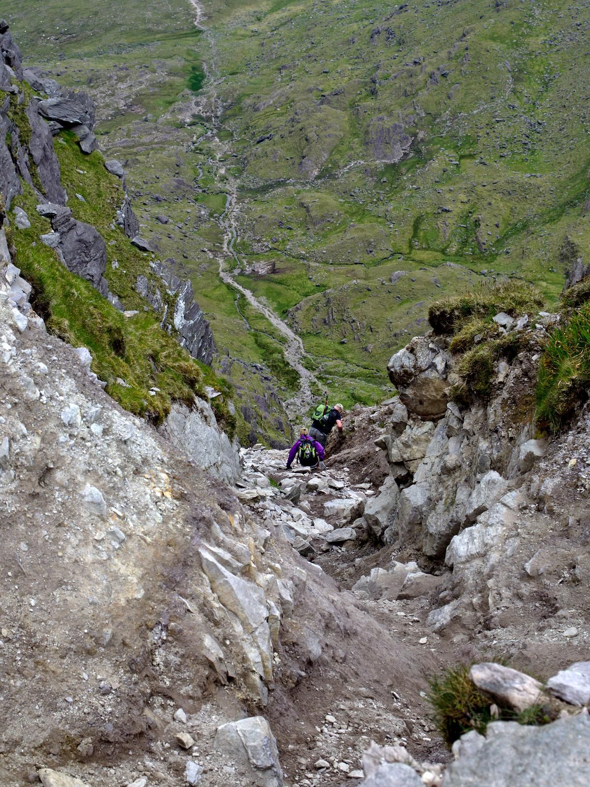
The Ladder itself is a steep gully of loose scree and boulders climbing to the col between Carrauntoohil and Cnoc na Toinne. It has eroded badly, worst in the upper section, and the rescue team's advice on it is specific:
- Stay in the bed of the gully. The flanking slopes look like better going, especially on the way down, and they are not.
- Watch for rock dislodged by parties above you, and for rock you dislodge onto parties below.
- Treat it with real caution when wet or icy.
The ford lower down deserves a mention too. It demands care after prolonged heavy rain, and a crossing that gave no trouble on the way in can be a different proposition on the way back.
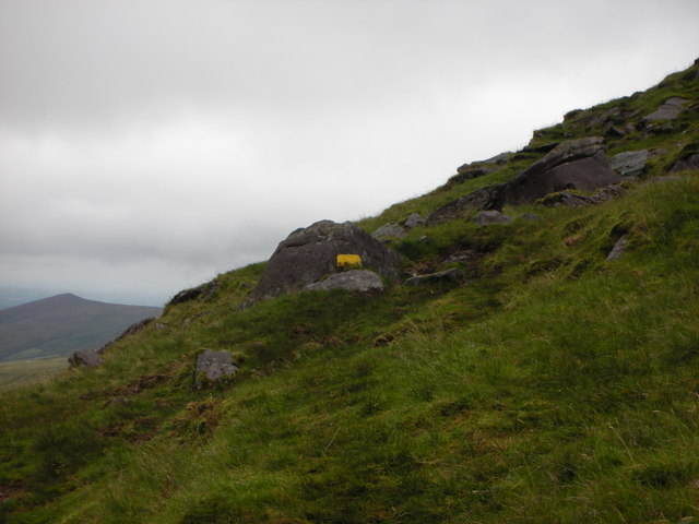
At the top of the Ladder, bear right onto the long summit slope. The path is vague at first and firms up as you climb, and although it braids into several strands they all end at the same place.
The Zig-Zags, or Bóthar na Gíge
An old track up the north-western spur of Cnoc na Toinne, disused for years and now popular again as a way of avoiding the Ladder's worst section. It is not the soft option. It has eroded quickly since coming back into fashion and is loose and slippery in places, the rescue team records a run of accidents on it caused by simple slips, and because it takes you over Cnoc na Toinne (845 m) rather than through the col beneath it, it adds a significant amount of extra climbing to the day.
Where it earns its place is as a descent in dry conditions, for a party that would rather not come back down loose scree. In snow or ice it is worse than the Ladder, not better.
Brother O'Shea's Gully, from the Hag's Glen
The best of the mountain's scenery, for about the same effort, and the route most experienced walkers steer visitors towards.
It starts as for the Devil's Ladder but branches right just before the ford, crossing flat open ground with no real path and then taking a rising traverse above Lough Gouragh. There are one or two exposed spots and several short rocky steps that need easy scrambling, though most can be turned by a small detour. The traverse ends on a flat shelf known as the first level, with Carrauntoohil on one side and the Hag's Tooth ridge on the other.
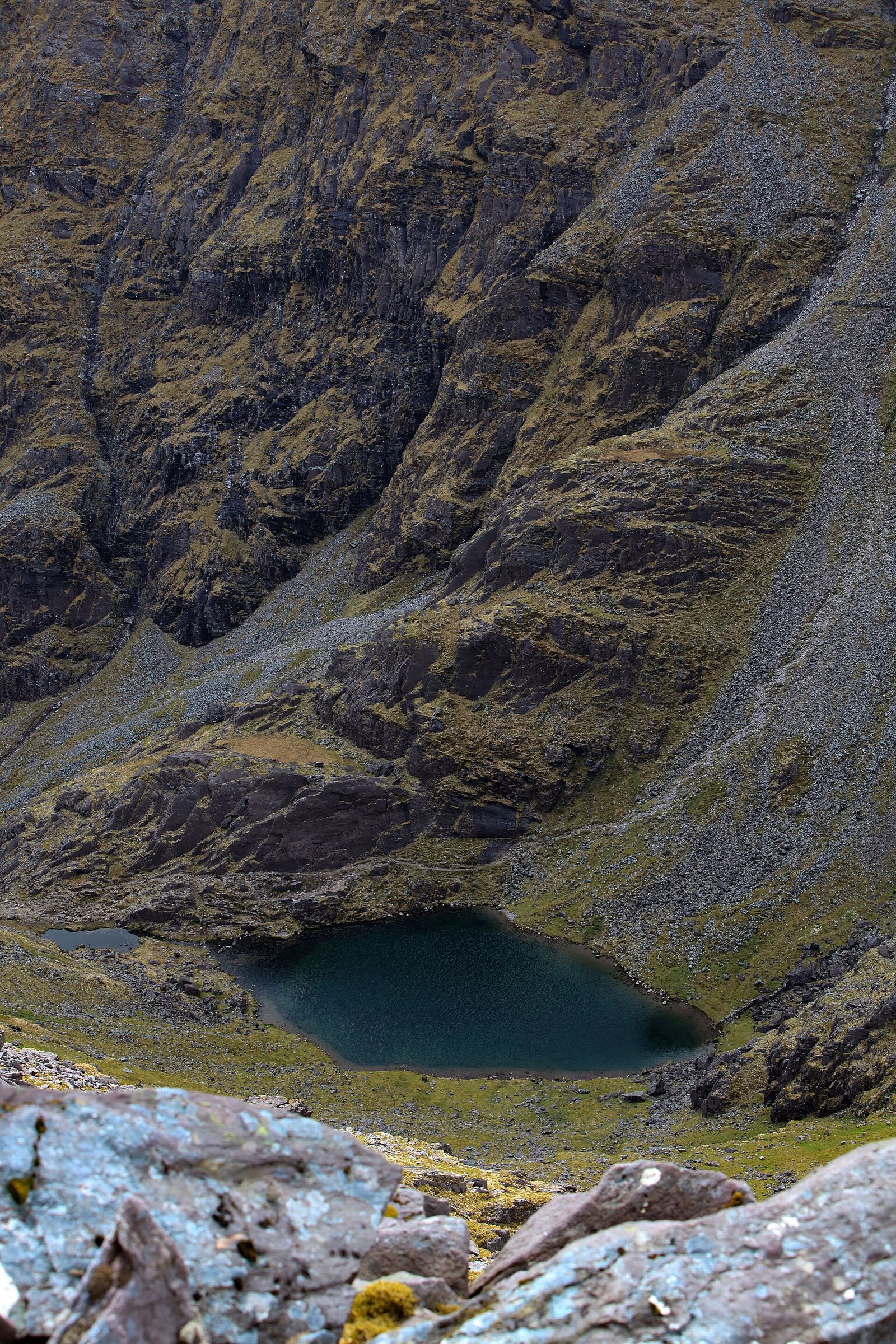
From there a track climbs the scree beneath the mountain's north-east face to the second level, where a waterfall comes out, and a short steep pull leads to the third level and Lough Cummeenoughter. At around 720 m it is reputed to be the highest lake in Ireland, mineral-blue, held in the corrie of the Eagle's Nest under the biggest cliffs in the country, and increasingly a place people swim.
Above the lake the route bears left up the broad scree of Brother O'Shea's Gully, hemmed in on the right by the cliffs under the Beenkeragh ridge. The lower gully is coarse scree, the upper part grassy and badly eroded, and the top of it is steep enough to demand care, particularly in winter. From the col at the head of the gully you scramble left up broken rock to the summit, with considerable exposure on your left. Curved Gully and Central Gully open below you on that side. Neither is a walking route.
Six hours round trip, most commonly done up O'Shea's and down the Devil's Ladder.
The Heavenly Gates, from the Hag's Glen
The quiet way, and the best name on the mountain.
From the first level above Lough Gouragh, a path breaks off across the stream, passes a turf-roofed emergency shelter and climbs to an obvious notch in the rock band above: the Heavenly Gates. Beyond the gap the angle eases and a traverse carries you out onto the main summit slope above the Devil's Ladder. There are two or three short scrambling steps, no harder than the ones on O'Shea's, and a fraction of the traffic.
Two things to know. The traverse runs across the face on a narrow track, and Kerry Mountain Rescue specifically warns walkers coming down from the summit that drifting too far right puts them on it by accident. Arriving there on purpose is fine; arriving there in cloud because you were fifteen degrees off is not.
And from the Gates the ground above leads to Howling Ridge, a graded rock climb, which is emphatically not a walking route. There is a sign at the point where the walking stops. It means it.
The Caher route, from Breanlee
The most straightforward of the routes to the summit, and the longest day.
Start at the locked gate at Breanlee and climb the concrete hydro road, which is a genuinely punishing slog up the lower slopes of Skregmore before it bears right, eases and brings you out at Lough Eighter. Bear right across open ground to the spur that leads up to Caher, and follow it over Caher's three tops. The ground on your left steepens as you go until you are walking a cliff-top track, which is no place to be in a strong wind. Drop to the col between Caher and Carrauntoohil, where navigation needs care in cloud and more care still in the other direction, and finish up easy ground to the summit.
Six hours out and back. If someone asks for the easiest route up Carrauntoohil, this is the honest answer: no loose gully, no scrambling, and the least that can go wrong. Easiest is not the same as easy, mind. It is more total ascent than the Ladder, a longer day, and it begins with the steepest hour on the mountain.
The Coomloughra Horseshoe, from Breanlee
Ireland's three highest mountains in a single circuit, and one of the country's classic ridge walks. Also the one on this page that most deserves to be taken seriously.
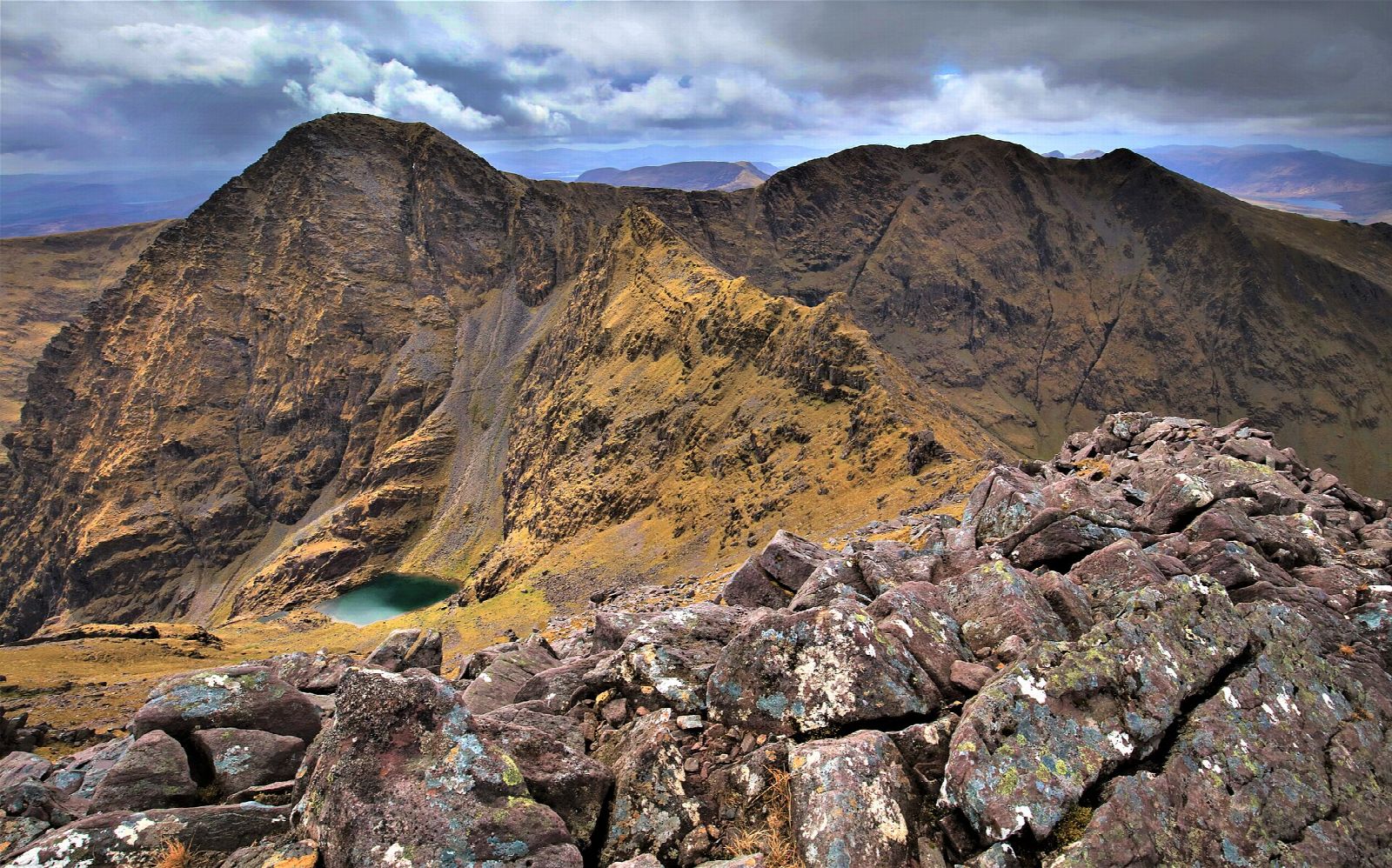
From Breanlee most parties go clockwise, gaining height quickly up the steep flank of Skregmore, over Beenkeragh, along the Beenkeragh ridge to Carrauntoohil, then out over Caher and down its north-western spur. Roughly 1,200 m of ascent, and eight hours by the rescue team's reckoning.
The ridge is the crux and it has earned its reputation. It is knife-edged in places, with long drops into Coomloughra on one side and Cummeenoughter on the other, and it needs hands as well as feet. The rescue team's guidance is that it should not be attempted at all in windy conditions, and that ice makes it more serious again. In winter the short days are reason enough on their own to leave it: a party that has to move fast to finish in daylight is a party making decisions badly.
Routes that are not walks
Carrauntoohil's north-east face is a climbing venue, and several well-known lines start from ground that walkers pass through. Howling Ridge, above the Heavenly Gates, is a roped rock climb. Curved Gully and Central Gully, on the summit's west side above O'Shea's, are steep, loose and not recommended for inexperienced parties in either direction. The Hag's Tooth ridge, running up to Beenkeragh, is a scramblers' route rather than a walkers' one.
None of these are things to find yourself on by accident, which is mostly how it happens.
Which route should you take
- First time, decent forecast, comfortable with a map. Devil's Ladder up and down, or up the Ladder and down the Zig-Zags if the rock is dry.
- First time, and you want the mountain at its best. Brother O'Shea's Gully up, Devil's Ladder down. More to look at, no harder, and it saves the descent you know least for the ground that is easiest to find.
- Wary of loose scree or exposure. The Caher route from Breanlee. Longer, steeper at the start, far less to go wrong.
- Experienced, settled day, no wind in the forecast. The Coomloughra Horseshoe.
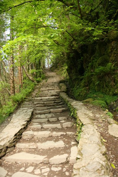
- Never done a mountain day before. Go with a guide, or spend a day on something gentler first. Torc Mountain, whose stepped path climbs from near Torc Waterfall, and Strickeen, the small hill by the Hag's Glen road, are both good ways to find out how you get on with Kerry weather and Kerry ground before committing to a six-hour day.
The summit
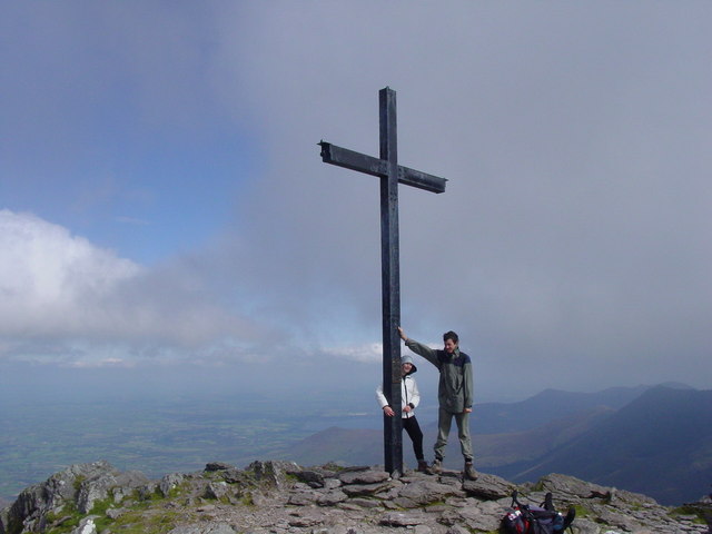
The top is a broad, stony dome with a five-metre steel cross on it, and on a clear day a view that runs from Dingle Bay and Brandon in the north round to the Iveragh interior and the lakes of Killarney National Park in the east.
The cross has a history. A wooden one was put up in the 1950s and replaced by the present steel cross in 1976. In November 2014 it was cut down with an angle grinder by people who filmed themselves doing it, and a group of local volunteers carried the gear up and re-erected it a week later.
The descent that catches people out
This is the part to read twice.
The summit is ringed by steep ground, and Kerry Mountain Rescue put it as plainly as it can be put: there are no safe descent routes anywhere to the north, north-east, east or south-east. In cloud, the ground you want and the ground you must avoid feel identical underfoot for the first fifty metres. This is the single most common way a good day on Carrauntoohil becomes a rescue.
The team publishes initial magnetic bearings off the summit, and they are worth writing on something waterproof before you set out:
- For the Devil's Ladder, follow 192 degrees until you meet the track, then follow it as it trends south-east to the top of the gully.
- For Brother O'Shea's Gully, follow 230 degrees for 50 m, then turn onto 308 degrees and descend steeply towards the top of the gully.
- For Caher, follow 230 degrees for 50 m, then 195 degrees for about 200 m, then follow the rim of Coomloughra as it veers away to the right.
On the way down the summit slope towards the Ladder there are two named traps. Too far left and you are above Curraghmore, on dangerous ground. Too far right and you have picked up the narrow track that runs across the face towards the Heavenly Gates.
Carry a map and compass, and have at least one person in the group who can genuinely navigate with them in cloud and in the dark. The Reeks Forum's own advice on the alternative is one line long: do not navigate by walking apps.
What actually goes wrong
Kerry Mountain Rescue publish every callout they attend. Read the log for the Reeks and the same handful of things come round again and again.
Not knowing where you are. This is the big one, and it is not close. Walkers cragfast on the Curraghmore and Coimín Uachtar sides of the mountain. Parties lost trying to find the top of the Ladder in cloud. People benighted on ground they would have walked off without a thought in daylight. Navigation trouble brings the team out here about twice as often as any injury does.
Ankles. The most common injury by a wide margin, and they recur in the same places: in the Devil's Ladder, at the foot of it, and at the bottom of Bóthar na Gíge.
Running out of legs. Cramp and exhaustion in the Hag's Glen on the walk out, often bad enough to need a Land Rover sent in. One walker was found at the bottom of the Ladder two days after Christmas, hypothermic, struggling to walk and confused.
Weather. A sudden gust high in the Devil's Ladder that took a man off his feet and dropped him far enough to be airlifted out. A camper on top of the Ladder whose tent was damaged in the wind overnight and who could not get himself down.
The scale is worth stating too. Across the five years to 2024, Carrauntoohil and the Reeks account for more than half of everything the team is called to in the whole of Kerry.
If you do need help, dial 112 or 999 and ask for Mountain Rescue. The team may text you a link that reports your position back to them, so keep phone battery in reserve. And it is worth knowing what a rescue actually involves: the flat ground between the two lakes, Ard na Locha, is about as far as a rescue vehicle can reach. From anywhere above it a casualty is carried, or winched, and the helicopter cannot always fly.
What to bring
- A map and a compass, and the skill to use them. The Harvey Superwalker 1:30,000 MacGillycuddy's Reeks, the OSI 1:25,000 MacGillycuddy's Reeks, or OSI Discovery Series Sheet 78.
- Boots with ankle support and a sole that grips wet rock. Inappropriate footwear is one of the most-cited causes of accidents on the hill.
- Waterproofs, warm layers, hat and gloves, whatever the weather is doing in the car park.
- Food, more water than you think, and a head torch, even in June.
- In winter, an ice axe and crampons, and the training to use them. Snow and hard old névé sit in the gullies and on the summit slopes into spring, and every route on this page becomes a mountaineering day rather than a walk.
When to go
Late spring to early autumn, for daylight as much as weather. May and June are usually the driest and sunniest months in the south-west, and the long evenings give a slow party room to be slow.
Whatever the month, the summit spends a great deal of its life in cloud, and a forecast of sunny spells in Killarney tells you very little about what is happening a thousand metres up. Check a mountain forecast rather than a town one, look at it again on the morning, and be willing to turn the day into a walk up the Hag's Glen instead. The mountain is not going anywhere.
Going with a guide
There is no shame in it, and for a lot of people it is the right call: if you are not confident navigating in cloud, if you have never been on ground like this, or if you simply want to look at the view instead of the map. A guide also gets you onto the better routes, which most first-timers would not otherwise attempt.
Killarney-based operators run guided ascents for roughly 75 to 85 euro per person for the day at the time of writing, depending on the route. Kerry Mountain Rescue keep a list of people offering guiding on the mountain and will pass it on if you ask.
The rules that keep the mountain open
Every step of every route on this page is on private land. The Reeks cover over 100 square kilometres, all of it in private ownership and most of it actively farmed, and public access rests on the goodwill of the landowners, managed since 2014 through the MacGillycuddy Reeks Mountain Access Forum.
- No dogs. Not on a lead, not at all. Sheep worrying led to a request that dogs be kept on leads, that request was ignored often enough that it became a complete ban, and the policy is enforced by the people who own the ground.
- Park at the three recognised access points, and do not block gates, forestry entrances or the narrow approach roads.
- Groups of ten or more should register with the Forum in advance and carry appropriate insurance.
- Use the honesty boxes. They pay for the paths you are walking on.
- Take everything home, stick to existing tracks on the boggy ground, and do not build cairns.
Where it fits in a Ring of Kerry trip
It does not fit into a Ring of Kerry driving day, and trying to make it is how people end up on the summit slope at dusk. Carrauntoohil is a full day out of Killarney, with an early start and nothing else in it.
If you want the Reeks without the summit, there are better answers than rushing:
- The Hag's Glen on the looped walk from Cronin's Yard, which puts you in the middle of the range in a couple of hours with no scree involved.
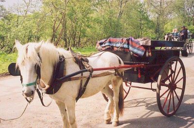
- The Gap of Dunloe, the glacial pass along the eastern edge of the Reeks, walked, cycled or taken by jaunting car.
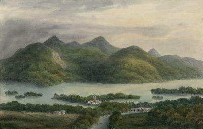
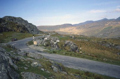
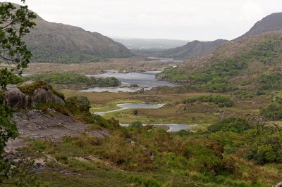
- Moll's Gap and Ladies View on the N71, which give the classic road view of the whole range from the south.
- Killorglin in August, where the goat crowned king at Puck Fair is caught on the slopes of these mountains.
Carrauntoohil is plotted on the Ring of Kerry map along with everything else within reach of it, which is the quickest way to see how the range stands against the driving loop, and the printable maps cover the loop, the Skellig Ring and the Gap on separate sheets.
The route detail in this guide follows the descriptions published by Kerry Mountain Rescue, read alongside the access guidance from the MacGillycuddy Reeks Forum. Both are worth reading in full before you go. In an emergency, dial 112 or 999 and ask for Mountain Rescue.