Torc Waterfall, Killarney: The Falls, the Steps and the Walks Above
You can see Torc Waterfall in twenty minutes, and most people do. Park on the N71, walk the two hundred metres, look at it, go. The Torc Waterfall page covers that visit and everything you need to make it.
Twenty minutes misses what the falls are the end of: a fault line that stacked the rock the wrong way round, a wood that was planted rather than grown, a great house that stands somewhere else because of this valley's shade, and a hundred steps that begin every walk in this part of the park.
Why there is a waterfall here
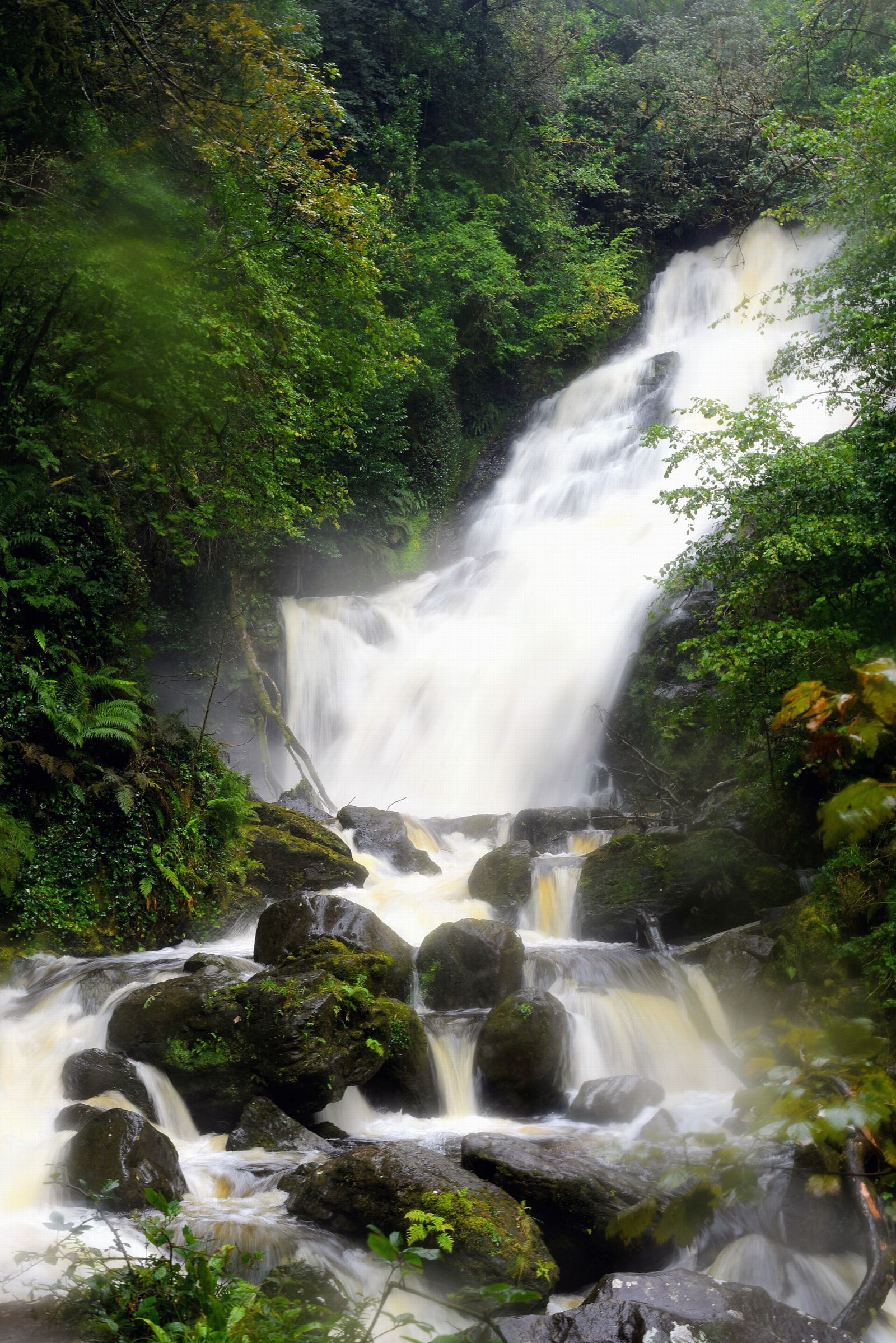
Torc Waterfall is 20 metres high and runs about 110 metres from top to bottom. It is there because of a break in the rock.
Torc Mountain is made of Old Red Sandstone, laid down in the Devonian around 400 million years ago. The low ground around Muckross Lake below it is Carboniferous limestone, roughly a hundred million years younger. Left alone, those two would sit in that order, the older underneath. They do not. The falls stand on the Muckross to Millstreet fault line, and when the continental plates collided the block beneath Torc was driven up by something in the order of three thousand metres, carrying the older sandstone back above the younger limestone.
That displacement is the step the river has to get down. The Owengarriff meets hard, tilted sandstone at the fault and breaks over it in a staircase of ledges instead of one clean drop, which is what gives the falls their fanned shape.
None of that is still happening. The fault is a Variscan structure, put in place around three hundred million years ago and dead ever since, and Kerry sits well inside a tectonic plate rather than near the edge of one. Ireland does register earthquakes, but the largest on record here are around magnitude 2.5, which is the scale at which a few people notice a lorry that is not there. The active ground is Donegal, Wexford and the Irish Sea. Nothing under Torc has moved in a very long time.
The gorge came later. Ice worked this valley through the Pleistocene and only left it around ten thousand years ago, and the river has been deepening the notch ever since. What you are looking at is a young cut through a very old fracture.
The catchment above
The river is the Owengarriff, and the waterfall is close to the last thing it does before it reaches the lakes.
It begins in the Devil's Punchbowl, a corrie lake lying in a hollow that ice bit out of Mangerton's flank, and loses the height of the valley on its way down. The ground it drains is thin peat over sandstone with very little capacity to hold water back.
The consequence is a river that rises within hours of heavy rain and falls almost as quickly. Torc in a dry August and Torc after a wet week in November are not really the same waterfall, and only one of them is worth the drive.
The stairway, and what lies above it
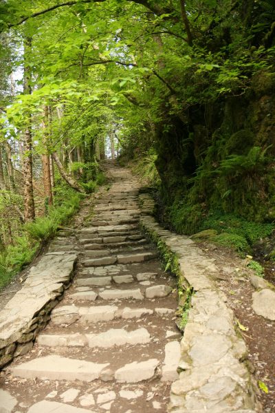
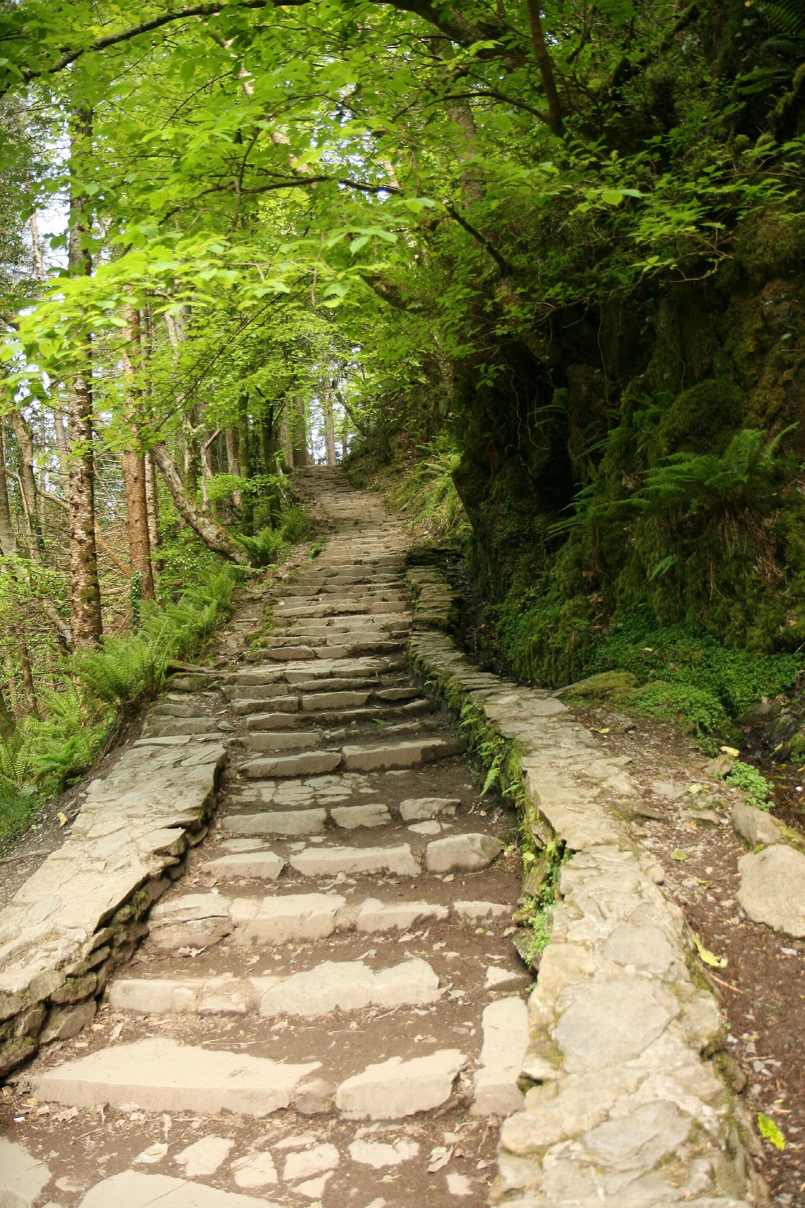
The stone stairway beside the falls is the part many slip past. It is not long: half an hour will take you up and back with time to stand and look.
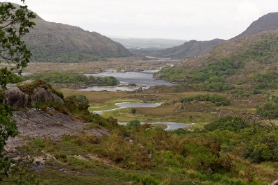
The viewpoint everyone photographs from is not the top of the falls. The stairway switchbacks up past the main cascade to a break in the trees that opens onto Muckross Lake and Lough Leane with the Muckross peninsula lying between them.
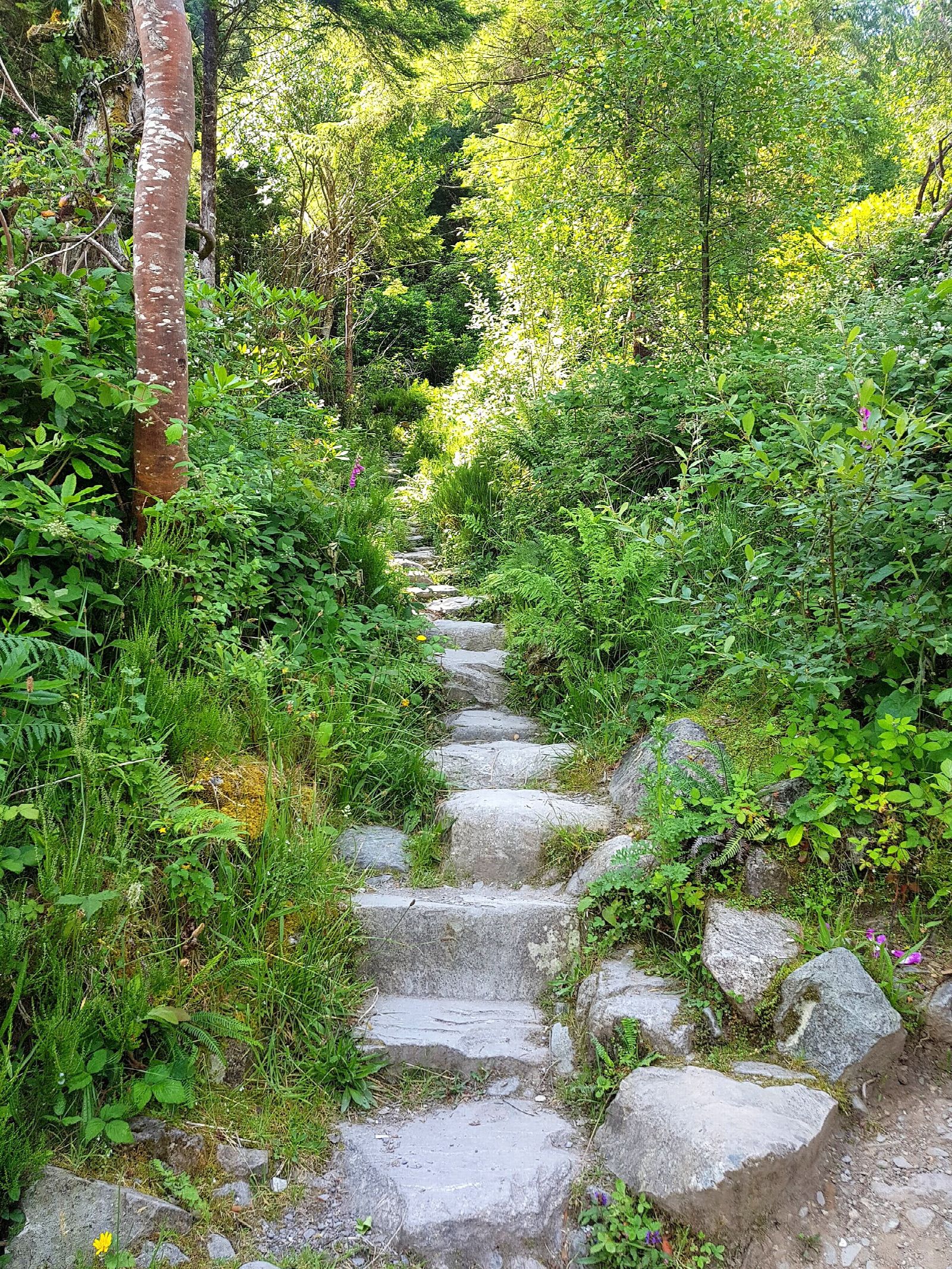
Above that break the path keeps going. It feeds into the woodland tracks and then onto the Old Kenmare Road, the walking route that runs south through the park towards Kenmare. Everything in the next section leaves from here: a woodland loop of about three kilometres, a seven to eight kilometre round trip to the summit of Torc Mountain, the old road south, and the Kerry Way. All of it is on foot. The nearest thing to a road is the Old Kenmare Road itself, and it stopped being one about two hundred years ago. These hundred steps are the first stretch of every one of them.
The wood is younger than it looks
The oak and holly around the path read as ancient woodland. A good deal of it was planted.
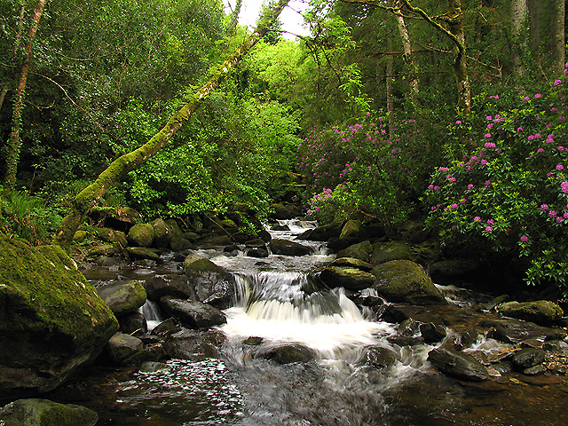
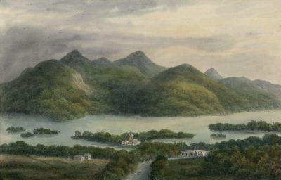
A few hundred metres from the falls, at the foot of Torc Mountain, stood Torc Cottage - written Turk Cottage in the older accounts, and once Turk-forest Lodge - a Herbert property. When Isaac Weld described this ground in the early 1800s, the Herbert of the day had been planting hard around it: forest running, in Weld's phrase, from the water nearly half way up the mountain.
Weld approved, and set it against what had already gone. It was, he wrote, painful to reflect how much the beauty of the lake had been impaired by the destruction of the forests. The plantations at Torc were repairing damage, not decorating a view.
He was less taken with the rest of the improvements. The ground around the cottage abounded with rocks, which were cleared at considerable effort, and Weld wondered whether the resulting smooth shorn meadows between the cottage and the lake did not contrast too sharply with the ruggedness of the mountain behind them. It is an early example of a complaint you still hear in the park: that tidying a landscape can cost it something.
The winter that built Muckross House
Torc Cottage had a reputation. Sir John Carr, writing in 1806, thought the place seemed to shiver in the vast shadow of Torc Mountain.
The people who had to live there agreed. In September 1837 Mary Balfour married Henry Arthur Herbert of Muckross, having met him in Rome two years earlier, and the couple came back to Kerry and spent their first winter at Torc Cottage.
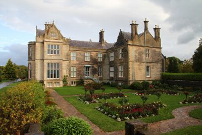
One winter was enough. They decided to build a new house on a better site, engaged the Scottish architect William Burn, and at Mary's insistence scaled his first design down to something more modest. Muckross House was finished in 1843, and Mary Herbert shaped much of its interior herself.
So the house that anchors the whole estate stands where it does partly because the foot of Torc Mountain is a cold, dark place to spend a January. The waterfall's own valley is the reason the great house is somewhere else.
The boar, and what the name is doing
Torc is the Irish for a wild boar, and it attaches to the mountain before it attaches to the falls. Muckross Lake was Torc Lake, or Turk Lake, in common use well into the nineteenth century. At one point the boar named most of what you can see from the top of the stairway.
The story behind it is told on the site page: a man under a curse, a nightly change of shape, a cave under the cliff and a violent end in the corrie lake above. There is a second and probably older strand in which Fionn Mac Cumhaill kills a magical boar somewhere on this mountain, which is the sort of thing Fionn does across half of Ireland.
The local version does the same work the fault line does. It accounts for the lake on the mountain, the river, the fall and the dark recess behind the water, and it does it in one story rather than four hundred million years.
Torc on the Victorian circuit
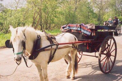
The falls were a fixed stop long before there was a car park. A guest's diary kept at Muckross records a Sunday in 1866 spent taking a car round Torc Lake, as Muckross Lake was then commonly called, visiting the waterfall, and looking in at the old abbey on the way back.
That is close enough to the route the tour coaches run today. The Killarney itinerary is not a modern invention; it is a Victorian one that never needed changing.
The falls reached Irish verse too. Tadhg Ua Donnchadha (1874 to 1949) wrote a poem of recollection that sets the sound of the cascade on the mountainside against the clouds parting over Lough Leane and the morning dew on the grass.
Three walks start at this car park
The woodland loops
Signposted loops of roughly three kilometres run from the falls through the woods, climbing a little above the gorge and coming back down. An hour or so, boots not essential in dry weather, and much quieter than the two hundred metres everyone else is standing on.
Torc Mountain
Torc Mountain is 535 metres, and the walk to the summit is the main reason to come back a second time. The usual line goes from the car park along the Old Kenmare Road, then turns up the flank of the hill onto a boardwalk of old railway sleepers laid over the wet ground and running most of the way to the top. Reckon on seven to eight kilometres round trip and two to three hours.
The sleepers make this far more manageable than an open bog climb, and that is exactly why it needs saying plainly: it is still a mountain. Five hundred metres of Kerry hillside is fully exposed, the weather changes fast and can take the summit out of sight in minutes, and wet sleepers are genuinely slippery. Experienced hillwalkers will find it a short, straightforward outing. Anyone else should treat it as a proper hill walk and bring boots, a windproof layer, water and a way of navigating that does not depend on a phone battery.
What you get for it is the view down the whole length of the lakes, across to the MacGillycuddy's Reeks and Carrauntoohil, and out over the park in a way no roadside stop matches.
The Old Kenmare Road and the Cardiac Steps
The Old Kenmare Road was the main way between Killarney and Kenmare, carrying the carts, cattle and foot traffic of its day. It lost that job in the 1820s, when a new line was cut west of it through Moll's Gap on the alignment the N71 still follows. Moll's Gap is named for Moll Kissane, who kept an unlicensed pub for the men building it.
The old road was never upgraded afterwards, which is why it survives as a walking track rather than a lane. It runs south through the park from the falls, about thirteen kilometres end to end, and is the quietest good walking in this part of Killarney.
Calling it a road overstates what is left of it. Long stretches are boardwalk laid over bog, the streams are crossed on wooden footbridges, and at one point the way over the water is a line of large stepping stones with a rope to hold. Those crossings can be impassable after heavy rain, which is the thing to check before committing to the full length. Whether cars are permitted is not really the question: a car would not get far.
Part of it climbs Huntsman's Hill by a steep flight known as the Cardiac Steps. The name is not decorative. A shorter circuit taking in the steps runs about three and a half kilometres and takes a couple of hours, and the ground is rough, wet and uneven in places.
The Kerry Way
The waterfall also sits on the Kerry Way, the two hundred kilometre waymarked route around the Iveragh peninsula. Walkers on the Way come through here on the stage between Killarney and Kenmare, which is one reason the car park sees boots as often as flip-flops.
When it is worth the walk
Torc is one of the few places in Kerry where bad weather is the right weather. In a long dry spell the river thins and the ledges show through. After two or three days of rain the gorge fills and you hear it before you are out of the car park. A hard frost can lock the whole face in ice.
Within the day, arrive before about ten or after about five in summer and you will have a different experience of the same two hundred metres. Parking, hours and access are covered on the Torc Waterfall page.
Where this sits
The falls are plotted on the Ring of Kerry map, and the practical side of a visit is on the Torc Waterfall page.
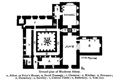
It pairs naturally with the rest of the estate. Muckross House and Muckross Abbey are a few minutes down the same road, both with their own long histories, and Ladies View is further up the N71 towards Kenmare. The whole of it sits inside Killarney National Park.