Ring of Kerry Stops in Order, Anticlockwise from Killarney
Ask ten guides for the best stops on the Ring of Kerry and you will get ten different lists, none of them in the order you actually drive past them. This is the whole route in sequence: out of Killarney, anticlockwise around the Iveragh Peninsula, and back to where you started, roughly 179 km later.
Two things before you set off.
Go anticlockwise. The tour coaches all do, and on the narrow western stretches you would far rather be following one than meeting it head-on around a blind bend. An early start buys you the best light and the emptiest road.
Treat this as a running order, not a to-do list. Nobody stops at all of these in a day, and trying would ruin the drive. Use it to see what comes next, and pick.
Stage 1: Killarney to Killorglin
The gentlest part of the loop, about 22 km of wide road along the foot of the mountains.
- Killarney - where the loop begins and ends. Fill the tank here; fuel gets scarcer and dearer further west.
- Killorglin - the first town on the route, straddling the River Laune, and home to the ancient Puck Fair every August.
Stage 2: The north coast to Cahersiveen
Now the road turns west along Dingle Bay and the views open up.
- Rossbeigh Beach - a turn-off at Glenbeigh drops you onto a long golden spit backed by dunes, looking straight across at the Dingle Peninsula.
- Kells Bay Gardens - a sheltered subtropical garden running down to the sea, with Ireland's longest rope bridge strung across its ravine.
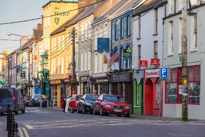
- Cahersiveen - the peninsula's largest town and the birthplace of Daniel O'Connell.
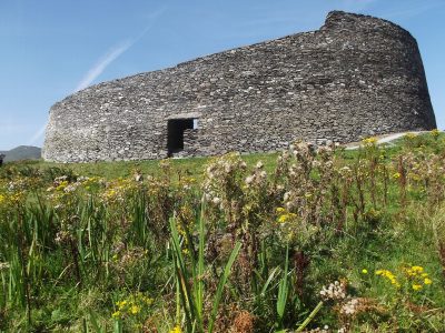
- Cahergall Stone Fort - a short signposted detour just outside town to a superbly preserved ring fort with stepped inner walls you can still climb.
Stage 3: The Skellig Ring
A detour off the main loop, and the best decision you will make all day. Add half a day if you can. Note that the road is narrow and the big coaches cannot follow you round it, which is rather the point.
- Valentia Island - reached by the bridge at Portmagee, with an outsized history: the first lasting transatlantic telegraph cable came ashore here in 1866.
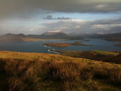
- Geokaun Mountain & Fogher Cliffs - you can drive to the top for a 360-degree view over the whole coast, which makes it the least strenuous great view in Kerry.
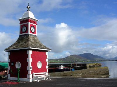
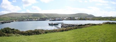
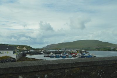
- Portmagee - one bright terrace of painted houses along a working harbour, and the departure point for the Skelligs.
- The Moorings & Bridge Bar - the obvious lunch or pint stop, right on the Portmagee quay.
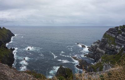
- Kerry Cliffs - the finest mainland view of the Skellig Islands, from platforms some three hundred metres above the Atlantic.
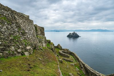
- Skellig Michael - the monastery island itself. Landing tours run roughly mid-May to late September and sell out months ahead, so this one is booked long before you leave home, not decided on the day.
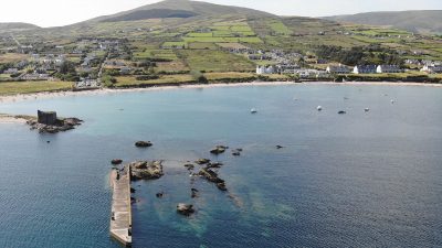
- Ballinskelligs - a Gaeltacht village with a golden strand, a shoreline castle and a medieval priory, where the Skellig Ring rejoins the main road.
Stage 4: Waterville to Caherdaniel
The most consistently scenic stretch of the whole loop.
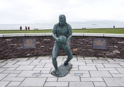
- Waterville - strung along its neck of land between Ballinskelligs Bay and Lough Currane, with a statue of Charlie Chaplin, who holidayed here for years.
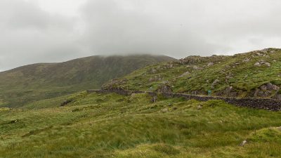
- Coomakista Pass - the road climbs over a high shoulder and the entire bay opens up beneath you. The lay-by is easy to reach and hard to leave.
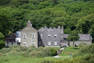
- Derrynane House - Daniel O'Connell's coastal home, kept much as he left it, with parkland running down to the shore.
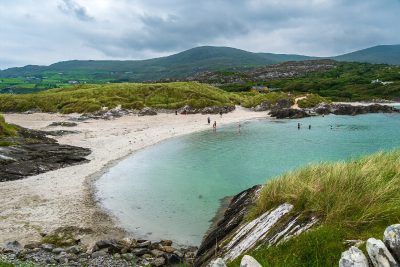
- Derrynane Beach - white sand, clear water and a tidal path out to Abbey Island. Arguably the best beach in Kerry.
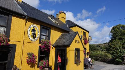
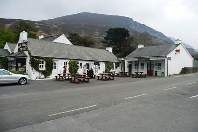
- The Blind Piper - a proper village pub in Caherdaniel, and a good place to stop if the day is running long.
Stage 5: Caherdaniel to Sneem
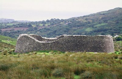
- Staigue Fort - a detour of a few kilometres up a lonely glen on a single-track road, to one of the finest Iron Age stone forts in Ireland. Worth every minute of the drive up.
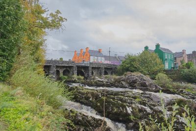
- Sneem - a village of rainbow-painted houses either side of the river, and the natural coffee stop on this side of the loop.
Stage 6: Sneem to Kenmare
- Kenmare - the food town of the south-west, and the best place on the loop to eat properly or stay the night.
- Tom Crean Fish & Wine - named for the Antarctic explorer, and run by his great-granddaughter.
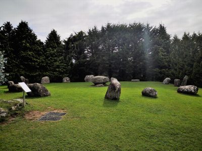
- Kenmare Stone Circle - fifteen stones around a boulder burial, a short walk from the town centre.
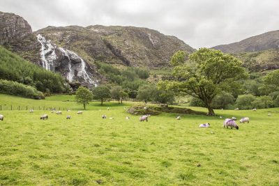
- Gleninchaquin Park - a detour southeast into a glacial valley with a tall waterfall and marked hill walks.
Stage 7: The N71 back to Killarney
Rather than retracing the coast, most drivers close the loop on the mountain road north, about 32 km of hairpins and lake views. It is the dramatic finish the drive deserves.
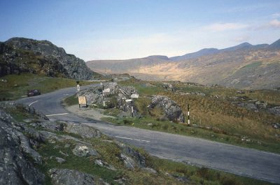
- Moll's Gap - where the road tops out among bare rock, looking across to Macgillycuddy's Reeks.
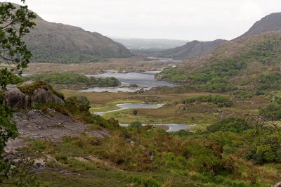
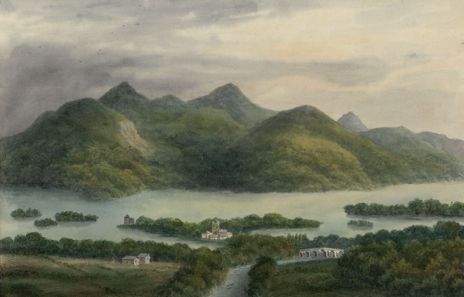
- Ladies View - the celebrated overlook down the three Lakes of Killarney, named for Queen Victoria's ladies-in-waiting, who were said to have admired it in 1861.
- Killarney National Park - the road runs through it for the rest of the way. Ireland's first national park, and the last four stops are all inside it.
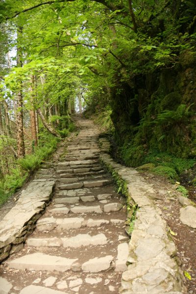
- Torc Waterfall - a twenty-metre cascade five minutes' walk from the car park, and worth the short climb above it.
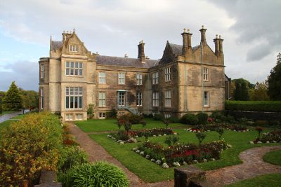
- Muckross House & Gardens - a Victorian mansion on the lakeshore with formal gardens and a working traditional farm.
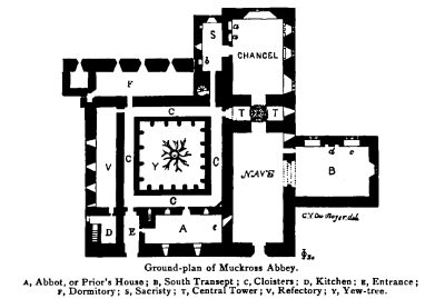
- Muckross Abbey - a roofless fifteenth-century friary with a vast yew tree filling its cloister.
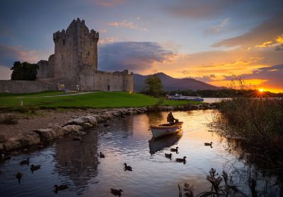
- Ross Castle - a tower house on the edge of Lough Leane, and the last stop before you are back in Killarney.
The Gap of Dunloe
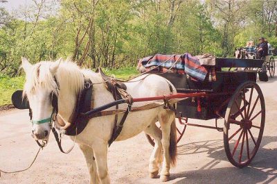
Not part of the loop at all, and it cannot be tacked onto the end of a Ring day. The Gap is a separate half-day out of Killarney, on a single-track pass shared with walkers and pony traps. Give it its own morning.
- Kate Kearney's Cottage - the pub at the mouth of the Gap, where the pony traps wait and the surfaced road effectively ends.
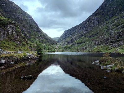
- Gap of Dunloe - a narrow glacial pass threading between Macgillycuddy's Reeks and Purple Mountain, past a chain of small lakes.
Which of these need a detour
Everything above is either on the main loop or signposted off it, but four take a real bite out of the day and are worth deciding on in advance: the Skellig Ring (half a day, and the best of them), Staigue Fort (a single-track glen), Gleninchaquin Park (a valley road southeast of Kenmare) and the Gap of Dunloe (a separate half-day entirely). The rest cost you minutes, not hours.
If you are driving the loop over two days, the natural break is Kenmare or Waterville: both have somewhere decent to sleep and eat, and both leave you a manageable run in the morning.
See the running order on a map
A list only gets you so far. Every stop above is plotted on the Ring of Kerry map, so you can see how far apart they really are, filter down to the ones you care about and pull directions to the next one as you go. If you would rather have it on paper, the printable maps cover the full loop, the Skellig Ring and the Gap of Dunloe on separate sheets.